
MAPublisher 9.7.0 – Plugins for Illustrator, cartographic/GIS production
MAPublisher allows you to produce the best quality maps possible in the most efficient and accurate manner.
MAPublisher does just that by allowing you to use the powerful and vast design tools of the major vector graphics applications, Adobe Illustrator and Macromedia FreeHand, in order to produce maps from geographic information systems (GIS) map data.
MAPublisher is a suite of plug-ins for Adobe Illustrator and Macromedia FreeHand that bridges the gap between Geographic Information System (GIS) technology and high-end graphics software for high quality and efficient design and production of maps. Cartographic quality map production is now faster, easier and better. Avenza understands that completing cartographic tasks is best performed in the right environment such as a powerful graphics program like Adobe Illustrator or Macromedia FreeHand. MAPublisher takes you into this environment seamlessly and effortlessly with the right GIS data management tools to facilitate the map production process. Using this fast, intuitive system, your map can transcend the ordinary and become a work of art.
With the wealth of map data that abounds these days, both free and commercial, there is no longer the need to scan, trace or hand-draw a map. MAPublisher simplifies the entire process and allows you, the GIS professional, cartographer or graphic designer, to concentrate on the look, feel and layout of your map rather than the intricate details of geographic accuracy.
MAPublisher is used worldwide by major government, academic and business organizations such as: The United States Geological Survey, UK Ordnance Survey, University of Tennessee and National Geographic.
WHAT’S NEW
Version 9.7.0:
Enhancements and new features:
- Fully compatible with Adobe Illustrator Creative Cloud 2015 on both Windows (32-bit and 64-bit) and Mac
- Web Map Services (WMS) can now be managed and organized into folders. Selecting an area of a web map layer is now easier with improved selection tools.
- The GeoPackage format, a platform-independent database that can contain raster data, is now supported in Export to Web Tiles and Export Document to GeoPackage
- Map scales are now shown when selecting maximum zoom. Exporting to Web Tiles now includes GeoPackage as a map provider. A post export option allows you to open the destination folder containing the web tiles.
- New MAPublisher help system is now online. Browse help topics for tools, features, and tutorials. Most MAPublisher dialog boxes now link directly to help topics.
- MAPublisher FME Auto is now compatible with FME Desktop 2016.1
- Various user interface and performance enhancements to improve usability
REQUIREMENTS
- Intel, 64-bit processor
- OS X 10.8 or later
- 4 GB RAM (8 GB or more recommended)
- Adobe Illustrator CS6 or later
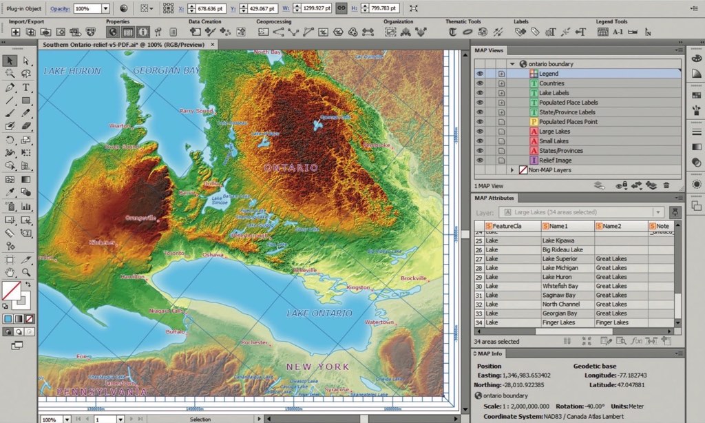
ScreenShots :

Using VPN will prevent your ISP from tracking your activity especially when downloading torrents, so it is highly recommended to use VPN service to hide your identity & avoid DMCA notices!! GET VPN SUBSCRIPTION NOW
If you are using Adblocker!! Please support this website by adding us to your whitelist. Ads are what helps us bring you premium content! Or read this to know how you can support us. Thank you!
Size – 349.5MB